Recent Posts
Open Data Science Europe workshop 2022
The workshop was part of the activities within the framework of Geo-harmonizer: EU-wide automated mapping system for harmonization of Open Data based on FOSS4G and Machine Learning. Geo-harmonizer was an European project, financed by the European Commission through the European Health and Digital Executive Agency (HaDEA).
Connecting Europe through Earth Observation and Open Data Missions
The workshop 2022 followed the main topics of the project:
1. Dynamic mapping of land cover, vegetation, climate and environmental quality indices,
2. Spatiotemporal Machine Learning,
3. Earth Data Cubes: spatiotemporal overlay, modeling and visualization,
4. Geocomputing and geo-harmonization using Python, R and Open Source Software
5. Processing large raster datasets using High Performance and Distributed Computing,
6. Using geospatial harmonized European map products,
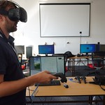
7. Using AR/VR for geospatial data visualisation
WHERE
Faculty of Civil Engineering, Czech Technical University in Prague, Thákurova 7, Praha 6, Czech Republic
WHEN
Monday to Thursday
13–16 June 2022
Schedule
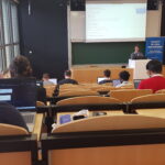
Training Sessions
- Day 1 June 13, 2022
- Day 2 June 14, 2022
Conference Talks
- Day 3 June 15, 2022
- Day 4 June 16, 2022
Keynote speakers
Meet the international experts on 15-16 June


Video recordings
All the sessions of the ODSE 2022 were video recorded. Watch freely-accessible tutorials, talks and discussions!
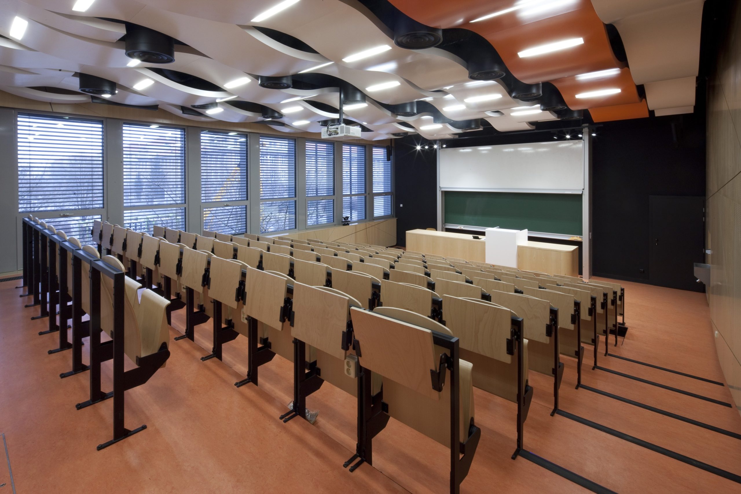
The Venue
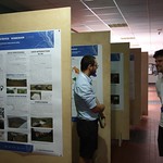
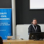
The workshop was hosted at the Faculty of Civil Engineering, Czech Technical University in Prague, Thákurova 7, Praha 6, Czech Republic.
Room C221 – training sessions (max. capacity: 85)
Room C223 – training sessions (max. capacity: 85)
Room C202 – Conference talks (max. capacity: 128)
Conference dinner:
7 PM | Restaurace Na Urale, Uralská 690/9, Prague (map)
The GeoHarmonizer Consortium
-
CEF Telecom project 2018-EU-IA-0095.
This project, co-financed by the European Union,
is now officially closed. For any inquiry, please refer to the Open Earth Monitor website https://earthmonitor.org/- The GeoHarmonizer project consortium
- OpenGeoHub, Agro Business Park 10, 6708PW Wageningen, NL
- (+31) (0)317 427537 | | | | |
- coordination-team@earthmonitor.org
Previous events